Trail Running
by Skyline Trail Series
Sani Traverse
Thu 5 – Sun 8 Aug 2027
Sani Pass Border Post
4 race days
4 races
29.4–41.8 km
Date
5–8 Aug 2027
4-day festival
Location
Sani Pass Border Post
Registration
Open now
Closes 22 Jul 2027
Races
4 races
Across 4 days · from R5,450
Packages
Multi-race bundles and add-on entries such as pacer and spectator packages.
Sani Traverse — full entry
Pick as you register
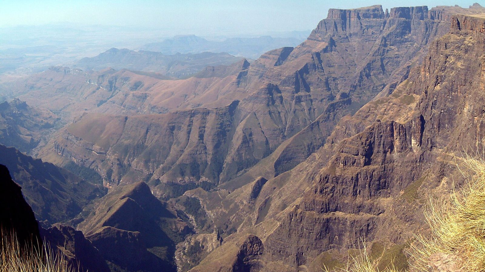
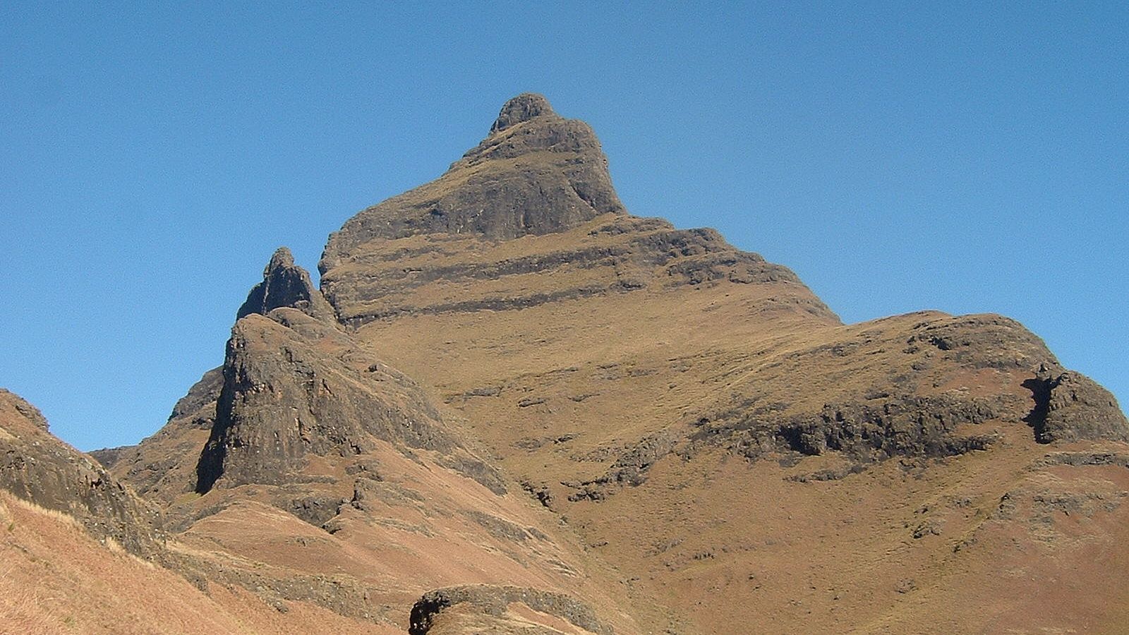
Four days at altitude over Thabana Ntlenyana, the highest point in Africa south of Kilimanjaro. Covers every race day, accommodation between stages, all meals, bag transfer and the return shuttle.
Day 1
Day 2
Day 3
Day 4
Camp accommodation
All meals
All package prices already include the bundle discount — no code needed at checkout.
Available Races
4-day eventDay 1
29.4km
Starts 05:30
Cut-off: 10:00
Capacity
0 / 140
Day 1 of Sani Traverse. 29.4 km with 2,140 m of climbing, cut-off 10:00.
R5,450.00
Distance
29.46 km
Elevation gain
2,140 m
Elevation loss
2,140 m
Day 2
41.8km
Starts 05:30
Cut-off: 12:00
Capacity
0 / 140
Day 2 of Sani Traverse. 41.8 km with 1,620 m of climbing, cut-off 12:00.
R5,450.00
Distance
41.86 km
Elevation gain
1,620 m
Elevation loss
1,620 m
Day 3
36.2km
Starts 05:30
Cut-off: 11:00
Capacity
0 / 140
Day 3 of Sani Traverse. 36.2 km with 1,880 m of climbing, cut-off 11:00.
R5,450.00
Distance
36.31 km
Elevation gain
1,880 m
Elevation loss
1,880 m
Day 4
32.6km
Starts 05:30
Cut-off: 09:00
Capacity
0 / 140
Day 4 of Sani Traverse. 32.6 km with 740 m of climbing, cut-off 09:00.
R5,450.00
Distance
32.68 km
Elevation gain
740 m
Elevation loss
740 m
About this event
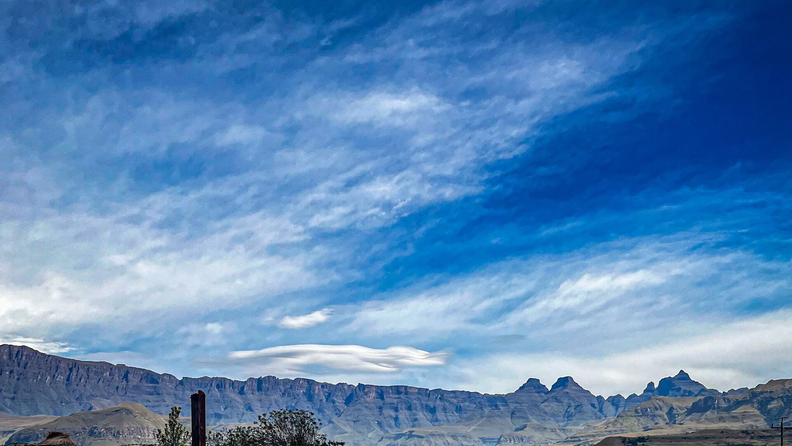
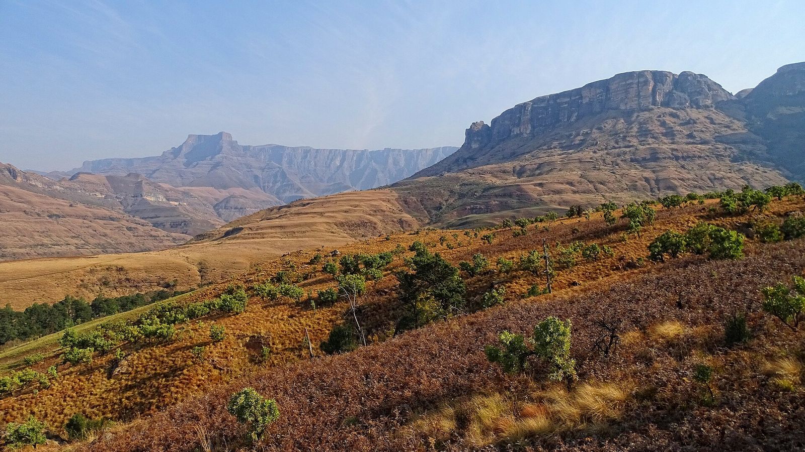
Four days at altitude over Thabana Ntlenyana, the highest point in Africa south of Kilimanjaro.
You might also like
Back to all events
Map data © OpenStreetMap contributors
• Tiles © OpenMapTiles
• Style © OpenFreeMap
• Map engine © MapLibre